Quantifying vegetation properties
Research
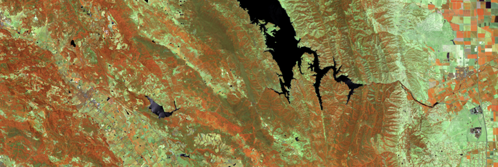
My research explores the application potential of both current and upcoming hyperspectral satellite missions for quantifying vegetation properties. Specifically, I am focusing on analyzing imaging spectroscopy data provided by the 👉EnMAP mission, and investigating their synergistic capabilities with multispectral time series. One key aspect of my research is to describe various vegetation cover types, such as vegetation growth forms and plant species. Additionally, I aim to assess vegetation conditions, distinguishing between green and non-photosynthetic vegetation, and retrieve vegetation parameters like biomass.
Selected publications
Okujeni, A., Jänicke, C., Cooper, S., Frantz, D., Hostert, P., Clark, M., Segl, K., & van der Linden, S. (2021). Multi-season unmixing of vegetation class fractions across diverse Californian ecoregions using simulated spaceborne imaging spectroscopy data. Remote Sensing of Environment. https://doi.org/10.1016/j.rse.2021.112558
Cooper, S., Okujeni, A., Pflugmacher, D., van der Linden, S., & Hostert, P. (2021). Combining simulated hyperspectral EnMAP and Landsat time series for forest aboveground biomass mapping. International Journal of Applied Earth Observation and Geoinformation, 98, 102307. https://doi.org/10.1016/j.jag.2021.102307
Leitão, P., Schwieder, M., Suess, S., Okujeni, A., Galvão, L., van der Linden, S., & Hostert, P. (2015). Monitoring natural ecosystem and ecological gradients: Perspectives with EnMAP. Remote Sensing, 7, 13098-13119. https://doi.org/10.3390/rs71013098